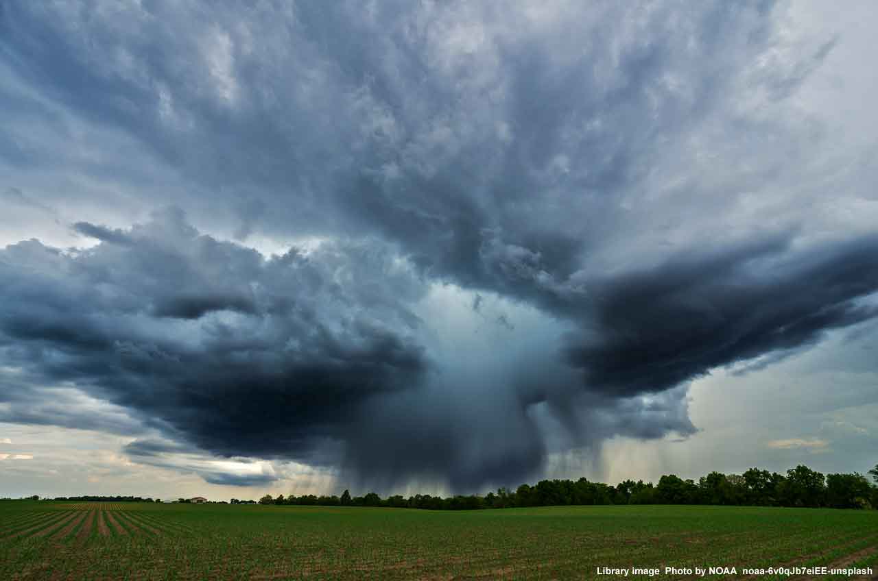
Met Office experts are warning of thunderstorms across Kent during Monday afternoon and evening.
Following the clearance of overnight heavy rain, there is the potential for thundery downpours to develop across parts of Kent and southern England on Monday afternoon, lasting well into the evening.
Where these form, they could prove to be slow-moving and produce large amounts of rainfall, with 20 to 30 mm falling within an hour and perhaps a few places seeing 50 to 60 mm in 2-3 hours. Lightning, hail and gusty winds may prove additional hazards in a few locations.
Flooding
Spray and sudden flooding could lead to difficult driving conditions and some road closures and there is a small chance that homes and businesses could be flooded quickly, with damage to some buildings from floodwater, lightning strikes, hail or strong winds.
There is a small chance of fast-flowing or deep floodwater.
Travel disruption
Where flooding or lightning strikes occur, there is a chance of delays and some cancellations to train and bus services
There is a slight chance that power cuts could occur and other services to some homes and businesses could be lost.