People in Kent and the south east are being warned of dangerous winds associated with Storm Ciarán on Thursday which may disrupt travel, utilities, and cause structural damage.
Forecasters warn of
- Flying debris which could result in a danger to life
- Damage to buildings and homes is possible, with roofs blown off and power lines and trees brought down
- Roads, bridges and railway lines may close, with delays and cancellations to bus, train, ferry services and flights
- Power cuts could occur and affect other services, such as mobile phone coverage
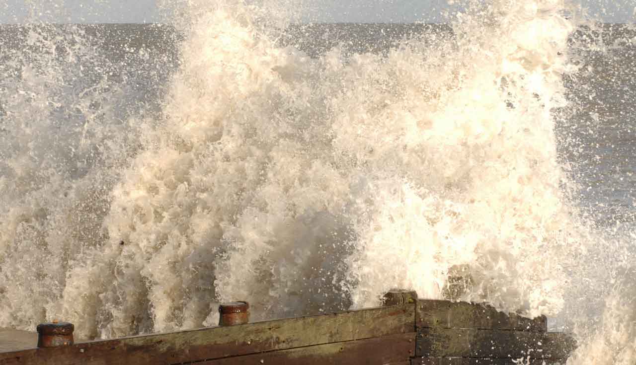
- There is potential for large waves and beach material being thrown onto sea fronts, coastal roads and properties
Winds of 85mph
On Thursday morning very strong west to southwesterly winds will develop over parts of the far south and southeast of England where gusts are likely to reach 70-80 mph in some coastal areas and may exceed 85 mph in a few of the most exposed English Channel coastal spots.
The extent of these high winds remains a little uncertain and is dependent on the exact track of Storm Ciarán. Winds will begin to ease from the west during the afternoon.
Very large waves could bring additional impacts to coastal areas, especially along the English Channel coastline.