Image: Pexels
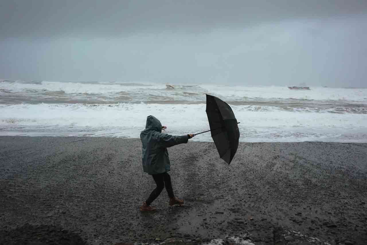
The Met Office is warning Kent residents to prepare for heavy showers and thunderstorms on Monday, potentially leading to flooding and significant disruption and expect difficult driving conditions, public transport delays, and even power cuts.
What to Expect
- Driving Hazards: Be prepared for spray and sudden flooding making driving challenging and potentially leading to road closures.
- Travel Disruptions: If you rely on train or bus services, be aware of the chance of delays and cancellations due to flooding or lightning strikes.
- Power Outages: There’s a risk of power cuts, which could also affect other services to homes and businesses.
- Property Damage: Flooding of homes and businesses could happen quickly, potentially causing damage from floodwater, lightning, hail, or strong winds.
- Intense Rainfall: While rainfall amounts will vary, some areas could see 30-50 mm of rain within a couple of hours. Lightning strikes, hail, and gusty winds are also likely.
What You Should Do
- Assess Flood Risk: Consider if your location is prone to flash flooding. If so, it’s wise to prepare a flood plan and an emergency flood kit.
- Secure Property: Before strong winds arrive, secure any moveable objects or temporary structures like bins, garden furniture, trampolines, tents, gazebos, sheds, and fences.
- Plan Travel: If you’re driving, check road conditions before you leave. If using public transport, check bus and train timetables and adjust your plans if necessary to avoid delays.
- Prepare for Power Cuts: Have torches, batteries, and a mobile phone power pack readily available in case of power outages.
- Stay Safe Outdoors: If you’re caught outside during a thunderstorm and hear thunder, seek safe, enclosed shelter (like a car). Avoid sheltering under or near trees or other structures that could be struck by lightning. If you’re on high ground, move to lower ground.