A yellow weather warning for thunderstorms is in effect across much of central and southern England and Wales, including Kent today, with meteorologists predicting potential disruption from heavy showers and lightning. The warning, issued by the Met Office, is valid from 11:00am to 8:00pm today.
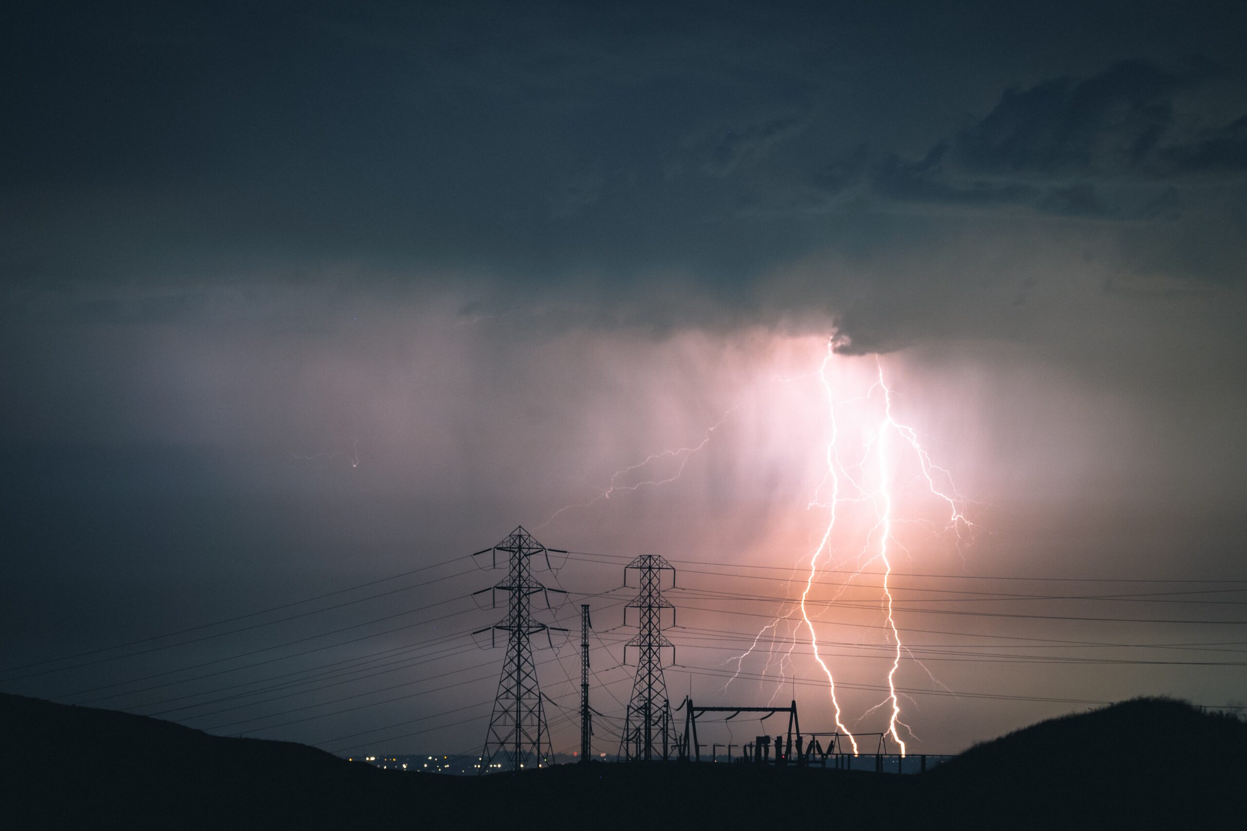
Forecasters have said that scattered heavy showers, some with thunder, are expected to develop later this morning and continue into the afternoon. While the storms are not expected to be widespread, the most active ones could bring impactful hail, strong gusty winds, and frequent lightning. There is also a small chance of surface water flooding in a few areas that experience multiple, heavy bursts of rain.
The Met Office warns that residents in the affected regions should be prepared for:
- Travel Delays: Driving conditions will likely be affected by spray, standing water, and hail, leading to longer journey times for cars and buses. Delays to train services are also possible.
- Property Damage: There is a chance of some damage to buildings and structures from strong winds or lightning strikes.
- Utility Issues: Short-term loss of power and other services is likely in some areas.
- Minor Flooding: A small number of properties could be affected by flooding.
The warning, categorized as “yellow,” indicates a medium likelihood and a low impact. The Met Office advises the public to stay informed about the weather forecast in their area and take precautionary measures to stay safe.
Met Office tips for staying safe during a thunderstorm include:
- Consider if your location is at risk of flash flooding and prepare a flood plan and emergency kit.
- Check road conditions, bus, and train timetables before traveling and amend your plans if necessary.
- Prepare for potential power cuts by gathering essential items like torches, batteries, and a mobile phone power pack.
- If you are caught outdoors and hear thunder, seek a safe enclosed shelter, such as a car. Avoid sheltering under or near trees or other tall structures.