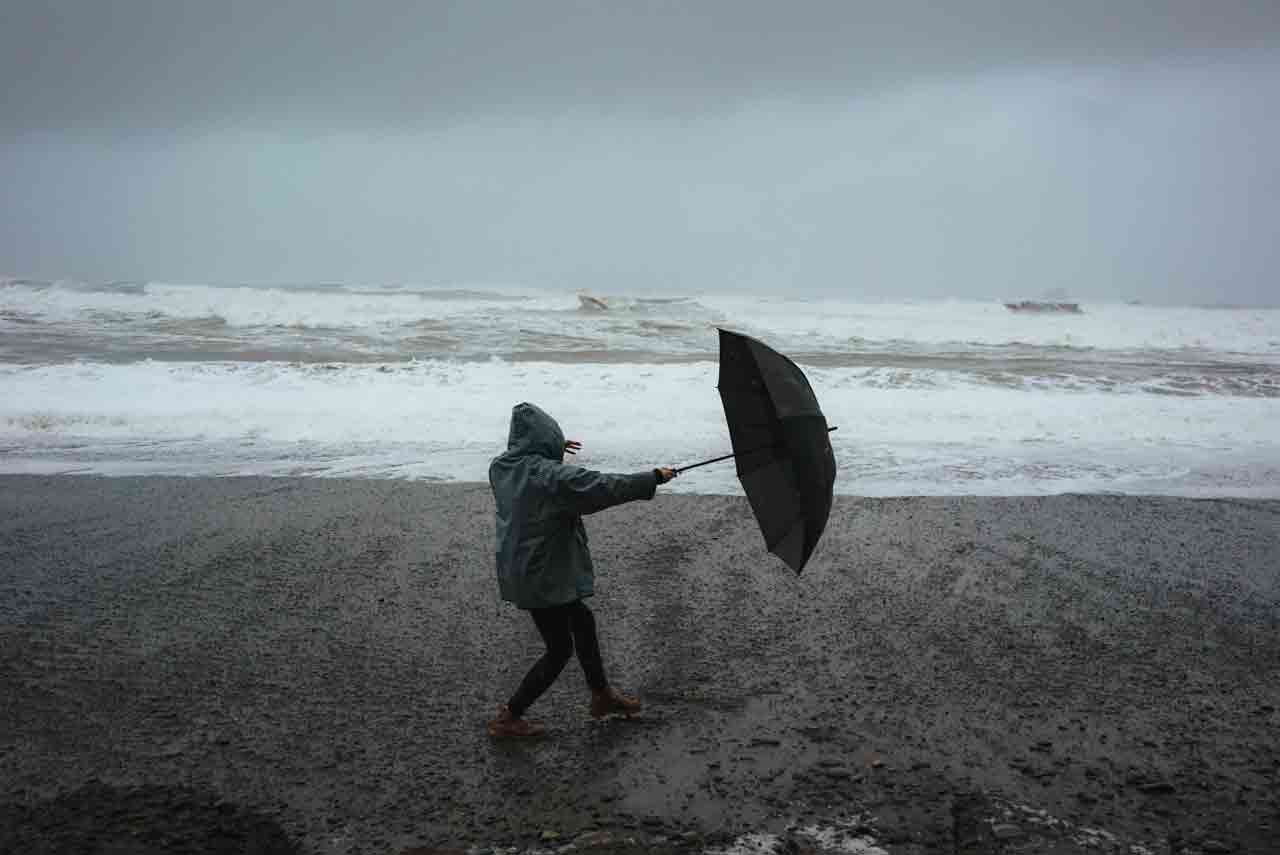
Library image —
The Met Office is warning of strong winds on along the Channel coast of Kent during Monday evening and Tuesday night.
It’s likely that some coastal routes, sea fronts and coastal communities will be affected by spray and/or large waves with some delays to road, rail, air and ferry transport likely with possible short term loss of power.
The expected spell of strong onshore winds will affect parts of the England Channel coastline overnight Monday and Tuesday morning with gusts will reaching 40-50 mph just inland from the coastal strip and potentially as much as 60 mph along the most exposed coastal spots.
By Tuesday morning, the wind is expected to ease and change direction to offshore.
Take precautions
If you are on the coast, stay safe during stormy weather by being aware of large waves. Even from the shore large breaking waves can sweep you off your feet and out to sea.
Take care if walking near cliffs; know your route and keep dogs on a lead. In an emergency, call 999 and ask for the Coastguard. Be prepared for weather warnings to change quickly: when a weather warning is issued, the Met Office recommends staying up to date with the weather forecast in your area.
Give yourself the best chance of avoiding delays by checking road conditions if driving, or bus and train timetables, amending your travel plans if necessary. People cope better with power cuts when they have prepared for them in advance. It’s easy to do; consider gathering torches and batteries, a mobile phone power pack and other essential items.